The Basics of Savannah Georgia Port Map
The Port of Savannah is one of the largest and most strategically significant ports in the United States, serving as a major hub for international trade and logistics. Understanding the Savannah Georgia Port Map is essential for businesses, logistics professionals, and freight operators to optimize their shipping routes, manage cargo efficiently, and navigate the port’s facilities. This guide provides a comprehensive overview of the port’s layout, key features, practical applications, and its importance in the global supply chain.
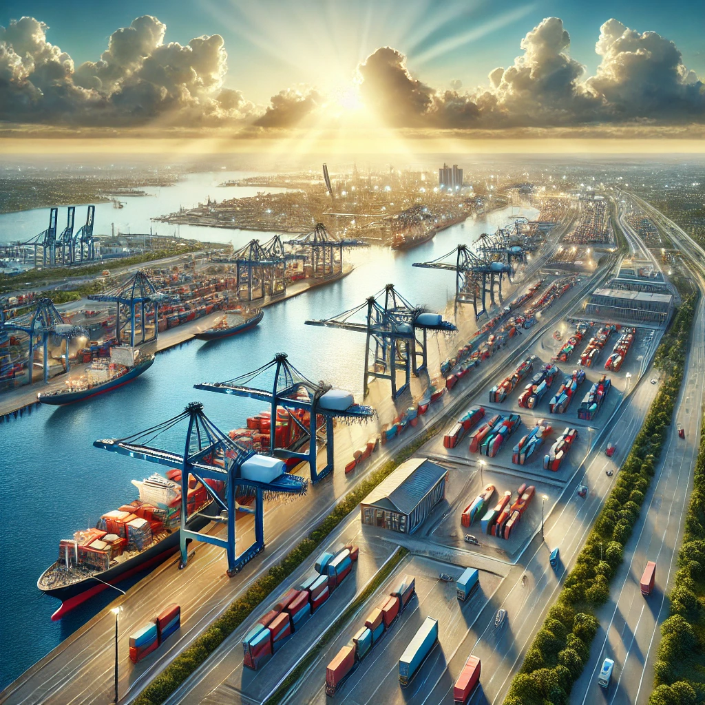
Overview of the Savannah Georgia Port
The Port of Savannah, operated by the Georgia Ports Authority (GPA), consists of two primary terminals:
- Garden City Terminal (GCT) – The largest single-terminal container facility in North America, specializing in containerized cargo.
- Ocean Terminal (OT) – Handles breakbulk and roll-on/roll-off (RoRo) cargo, including vehicles, heavy machinery, and project cargo.
Key Features of the Savannah Georgia Port Map
- Deepwater Port Facilities
- The port provides deepwater access for large cargo vessels.
- Recently expanded to accommodate Post-Panamax ships.
- Intermodal Connectivity
- Direct access to Interstate Highways (I-16 and I-95) for efficient trucking routes.
- On-dock rail connections with major Class I railroads (CSX and Norfolk Southern) for seamless cargo transfer.
- Container Yards and Storage
- Multiple container stacking areas for efficient storage and retrieval.
- Dedicated reefer (refrigerated) container sections for temperature-sensitive goods.
- Automated Cargo Handling
- State-of-the-art cranes for loading and unloading vessels.
- Digital tracking systems for real-time cargo visibility.
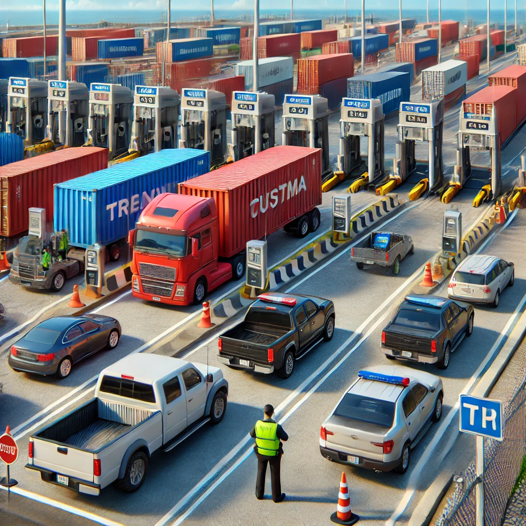
- Customs and Security Infrastructure
- Fully integrated with U.S. Customs and Border Protection (CBP).
- Designated areas for inspections and regulatory compliance.

Practical Uses of the Savannah Georgia Port Map
- Shipping and Logistics Planning
- Helps businesses identify the best entry and exit points for cargo.
- Facilitates efficient supply chain routing to minimize delays and costs.
- Freight Forwarding and Transportation
- Allows logistics providers to optimize delivery schedules.
- Supports coordination between trucking, rail, and ocean freight services.
- Port Navigation for Businesses
- Essential for truck drivers, shipping companies, and cargo handlers.
- Identifies key locations such as gate entrances, container yards, and storage areas.
- Customs and Trade Compliance
- Ensures that importers and exporters adhere to customs regulations.
- Provides designated areas for cargo clearance and documentation processing.
Why Is the Savannah Georgia Port Important?
- Strategic Location
- Located on the U.S. East Coast, making it a key gateway for international trade.
- Serves as a critical link between Asia, Europe, South America, and the U.S. market.
- High Cargo Volume Handling
- One of the fastest-growing ports in the U.S., handling millions of TEUs (twenty-foot equivalent units) annually.
- Supports major industries, including automotive, retail, and agriculture.
- Economic Impact
- Generates thousands of jobs and contributes significantly to the Georgia economy.
- Supports supply chains for major global corporations.
- Sustainability Initiatives
- Investing in green technologies to reduce environmental impact.
- Development of inland ports to improve freight efficiency and reduce emissions.

Challenges and Considerations
- Port Congestion
- High cargo volume can lead to delays during peak seasons.
- Solutions: Use digital scheduling tools and plan shipments in advance.
- Customs Clearance Times
- Regulatory checks may slow down cargo movement.
- Solution: Ensure proper documentation and compliance with import/export regulations.
- Intermodal Coordination
- Efficient coordination between trucking, rail, and ocean freight is critical.
- Solution: Utilize real-time tracking systems to monitor cargo movements.
Best Practices for Navigating the Savannah Georgia Port
- Use Digital Mapping Tools
- Online port maps and tracking systems help businesses monitor cargo movement efficiently.
- Coordinate with Freight Forwarders
- Professional logistics companies can streamline customs clearance and delivery schedules.
- Plan Shipments Strategically
- Schedule container pickups and deliveries to avoid peak congestion times.
- Stay Updated on Port Regulations
- Monitor changes in customs procedures, security measures, and cargo handling protocols.
Conclusion
The Savannah Georgia Port Map is an invaluable resource for businesses, logistics professionals, and freight operators looking to optimize their cargo operations. With its world-class infrastructure, intermodal connectivity, and strategic location, the Port of Savannah continues to be a major player in international trade. Understanding the port’s layout, key features, and best practices ensures efficient cargo handling, reduced transit times, and enhanced global trade operations.